Geophysical Survey Utilizing Semi-Airborne Drone Technology Commences in St. Kitts
Paragraph 1: Introduction to the Water Challenge and Technological Solution
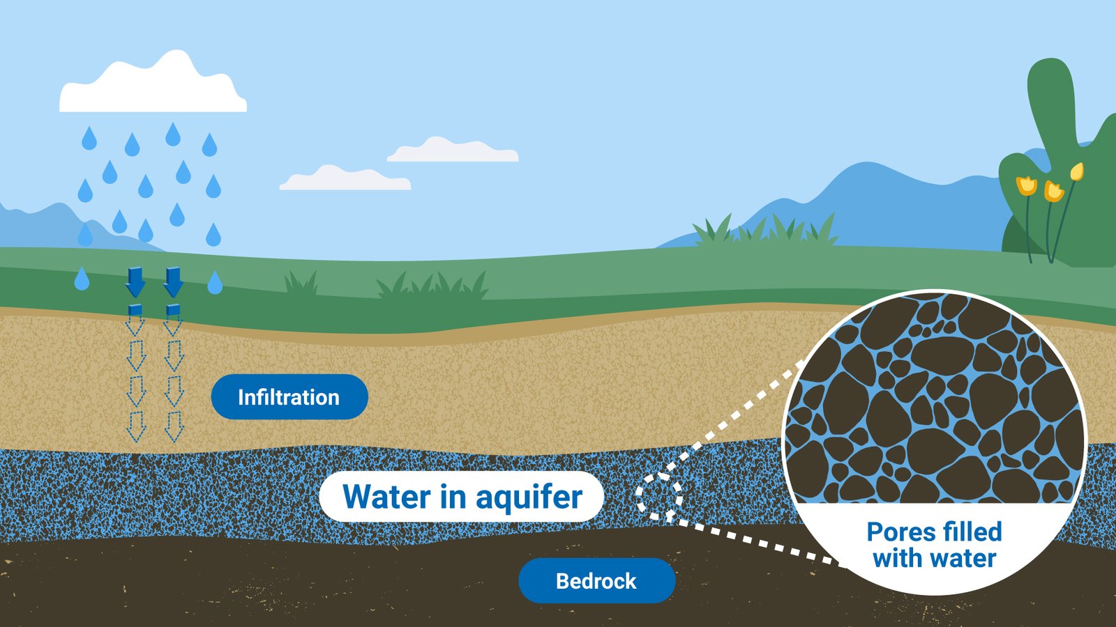
The dual islands of St. Kitts and Nevis, like many other nations across the globe, are facing increasing challenges in securing reliable freshwater resources. Climate change, with its associated shifts in rainfall patterns and increased evaporation rates, has exacerbated these challenges, making it crucial for governments to explore innovative solutions. In response to this pressing need, the Ministry of Public Infrastructure and Utilities in St. Kitts has embarked on a pioneering project utilizing semi-airborne drone geophysical surveys to identify and map potential underwater aquifers. This cutting-edge technology offers a promising avenue to bolster the island’s water security by locating previously untapped sources of freshwater.
Paragraph 2: The Semi-Airborne Drone Geophysical Survey: A Deeper Dive
The semi-airborne drone geophysical survey employs advanced technology to probe beneath the surface, searching for hidden water reservoirs. These specialized drones are equipped with sensors that measure variations in the Earth’s electromagnetic field, which can indicate the presence of groundwater. The drones fly at a predetermined altitude, transmitting signals that penetrate the ground. The reflected signals are then analyzed to create a detailed subsurface map, highlighting areas with high potential for groundwater resources. This approach provides a non-invasive and highly efficient method for exploring large areas, gathering data that can be used to strategically plan future water extraction projects.
Paragraph 3: Government Commitment and Project Significance
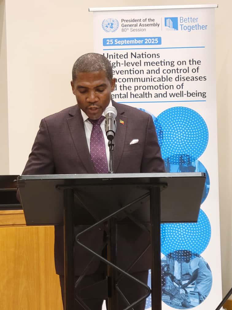
The implementation of this advanced technology underscores the government’s commitment to addressing the critical issue of water scarcity using modern and innovative solutions. Honorable Konris Maynard, Minister of Public Infrastructure and Utilities, emphasized the importance of utilizing cutting-edge technologies to tackle long-standing challenges. The project signifies a proactive approach to mitigating the impact of climate change on water resources, ensuring a sustainable supply for the island’s population. By investing in this survey, the government is demonstrating its dedication to securing a resilient water future for St. Kitts.
Paragraph 4: Anticipated Outcomes and Project Phases
The initial phases of the survey are expected to focus on data acquisition and analysis. The drones will systematically scan designated areas of the island, collecting detailed information about the subsurface geology. This data will then be processed and interpreted by experts to identify potential locations of underwater aquifers. Subsequent phases will likely involve ground-truthing, which involves verifying the findings from the airborne survey through on-the-ground investigations like drilling test wells. The ultimate goal is to create a comprehensive map of the island’s groundwater resources, providing valuable information for future water management strategies.
Paragraph 5: Long-Term Implications for Water Management
The information gathered from this survey is expected to have far-reaching implications for water management in St. Kitts. It will provide decision-makers with a detailed understanding of the location, size, and potential yield of underwater aquifers. This knowledge will guide the development of sustainable water extraction plans, ensuring that these resources are managed responsibly for the benefit of current and future generations. It will also enable the government to make informed decisions about infrastructure investments, optimizing water distribution networks and maximizing the efficiency of water use.
Paragraph 6: A Step Towards Water Security in a Changing Climate
The semi-airborne drone geophysical survey is a significant step towards achieving long-term water security for St. Kitts. In the face of climate change, innovative solutions like this are essential for ensuring a reliable water supply. The project not only provides a crucial tool for identifying new water sources but also showcases the government’s proactive approach to adapting to climate change impacts. By embracing technological advances, St. Kitts is paving the way for a more sustainable and water-secure future, serving as a potential model for other island nations facing similar challenges.
Share this content:


Post Comment